Project Name : Kingwood Drainage Study
Description
Gauge participated in the Kingwood Drainage Study for HCFCD and the Lake Houston Redevelopment Authority (TIRZ 10). The objective of the study was to determine the sources of flooding for the watersheds within Kingwood and to identify constructable and effective solutions to reduce flood risk.
Gauge was responsible for:
- Analyzing the open channels on the east side of Kingwood including Taylor Gully
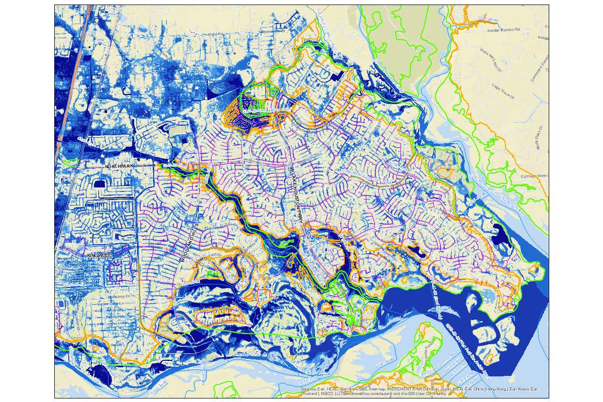
- Developing a comprehensive 2-Dimensional (2D) model of the entire Kingwood area and the contributing area west of Kingwood in Montgomery County
The purpose of the 2D model was to understand the overland flow patterns and to define the areas that are susceptible to flooding outside of the channel floodplains.
The Gauge team utilized these resources to develop the 2D model:
- the 2018 LiDAR surface
- the City of Houston storm sewer network in GIMS
- a combination of land use files
The results helped clearly identify areas of the Kingwood community that were experiencing localized flooding issues and areas that are susceptible to channel flooding. This information was useful in determining appropriate flood mitigation measures. The 2D analysis results also played a key role in communicating with the public, giving credibility to the analysis and defining the different flooding sources.

Location: Kingwood, TX
Client: Lake Houston Redevelopment Authority - TIRZ 10 / HCFCD
Services Provided: Hydrology and Hydraulic (H&H) Analysis
Status: Complete
Construction Cost: TBD
